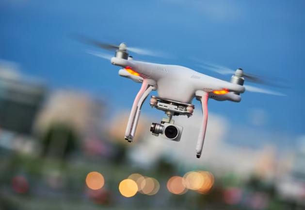
Drones have revolutionized many industries. They’ve transformed how people inspect, map, and monitor the world. But the real game-changer? Autonomous drones powered by AI. A drone that can think for itself collects data faster and smarter than any human-operated device. Sounds amazing, right? It’s not just about flying. It’s about gathering precise, actionable insights in real time.
With real-time AI, brands such as Skydio have X10 Drone that make decisions on the fly. They avoid obstacles, map complex environments, and adjust their course—all without human input. It’s as if they have a mind of their own. This article takes a closer look at how these autonomous machines are rewriting the rules of data collection, making it faster, safer, and more efficient.
Advanced Sensors for Precision
A drone’s success begins with its sensors. These aren’t your typical cameras. Autonomous ones carry a range of sensors that allow them to see, feel, and understand their surroundings. They detect temperature changes, measure distance, and even create 3D models of the landscape.
Every sensor plays a role in ensuring the data is accurate. When a drone flies over a construction site, its sensors don’t just take pictures. They capture exact measurements, allowing companies to track progress in real time. Drones equipped with thermal sensors can also identify heat leaks or electrical faults in power lines—saving both time and money.
AI-Powered Real-Time Decision Making
These devices don’t just collect data. They interpret it. As they fly, their AI systems make decisions in real time. Think of them as flying brains. When they encounter an obstacle, they don’t wait for a human to intervene. They calculate the best route instantly and adjust their flight path.
This capability makes them invaluable in high-risk environments. Whether it’s a search-and-rescue mission in the mountains or inspecting a wind turbine in bad weather, AI allows drones to operate where humans cannot. And they do it faster, with greater precision.
Navigating Complex Environments
Flying in open spaces is easy. But what about navigating through forests, urban landscapes, or inside buildings? Autonomous drones excel in these complex environments. They use AI to map their surroundings in real time, avoiding trees, power lines, and even small obstacles like wires.
Imagine a drone inspecting the inside of a bridge. It must navigate tight spaces, while avoiding beams and support structures. With AI, it can fly safely through these environments, collecting detailed data without the risk of crashing.
Seamless Integration with Systems
The magic happens when drones combine flight with advanced AI. It’s not enough to fly autonomously. They need to think. They integrate AI based systems directly into their onboard computers. These systems process the data collected by sensors and make split-second decisions.
This seamless integration is why drones are more than just flying machines. They become data collection platforms, constantly analyzing their surroundings and adapting to new conditions. It’s like having a pilot, engineer, and data scientist rolled into one.
Mapping in 2D and 3D
For industries that rely on mapping, drones are invaluable. They don’t just take aerial shots. They create detailed 2D and 3D maps of landscapes, structures, and environments. These maps are accurate to the centimeter and can be produced in minutes.
Traditional methods of mapping are slow and expensive. With these machines, companies can map large areas quickly, whether it’s an agricultural field or an urban development project. The data is detailed and actionable, allowing for better planning and decision-making.
Obstacle Avoidance and Safety
Safety is crucial. Autonomous drones use AI to avoid obstacles in real time. They don’t rely on human input to detect danger. Whether it’s a tree, a bird, or a power line, they spot the hazard and adjust their course immediately.
This makes drones far safer than manual operations. By avoiding collisions, they reduce the risk of accidents and damage to both the drone and the environment. It’s a game-changer in industries like energy, where these devices inspect power lines and wind turbines in challenging conditions.
Thermal Imaging for Night Operations
They are equipped with thermal imaging. It makes them capable of operating in low visibility environments. This means they can work at night or in areas with heavy fog. The thermal sensors detect heat patterns, making it easier to locate problems that would be invisible to the naked eye.
In search-and-rescue operations, they can find missing persons by detecting body heat. In infrastructure inspections, they identify hotspots in power lines that could lead to future failures. With real-time AI, they can analyze the thermal data instantly, alerting operators to potential issues before they become critical.
Autonomous drones, from brands like Skydio have X10 Drone with real-time AI, are changing the future of data collection. They gather data faster, more precisely, and in environments that humans can’t reach. From inspecting power lines to mapping construction sites, these drones are leading a new era of innovation.

